T215: Rottnest Island
 RSS feed for the "Rottnest Island" tag
RSS feed for the "Rottnest Island" tag
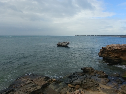
Mushroom Rock from the north west, looking over Thomson Bay, with the main jetty visible in the background.
<a href="https://commons.wikimedia.org/wiki/File:Mushroom_Rock,_Rottnest.jpg" rel="noreferrer nofollow">commons.wikimedia.org/wiki/File:Mushroom_Rock,_Rottnest.jpg</a>
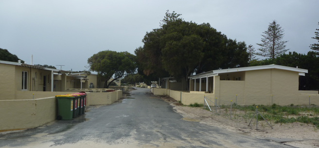
Looking south-east down Vlamingh Way in the South Thomson area of the Settlement, Rottest Island, Western Australia.
<a href="https://commons.wikimedia.org/wiki/File:Vlamingh_Way,_Rottnest,_June_2020.jpg" rel="noreferrer nofollow">commons.wikimedia.org/wiki/File:Vlamingh_Way,_Rottnest,_J…</a>
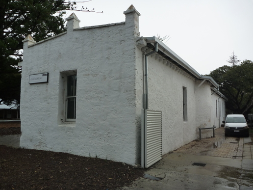
The museum building at the Settlement, from the south-east. Note the curved section of wall at the right.
<a href="https://commons.wikimedia.org/wiki/File:Rottnest_Museum_building,_June_2020.jpg" rel="noreferrer nofollow">commons.wikimedia.org/wiki/File:Rottnest_Museum_building,…</a>
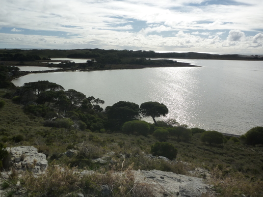
Looking north-west from the hill on the south bank of Lake Vincent, with lakes Sirius, Negri, and Baghdad visible in the distance. The board walk is visible to the lower right.
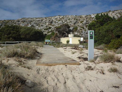
Looking away from the beach in City of York Bay.
<a href="https://commons.wikimedia.org/wiki/File:City_of_York_Bay,_Rottnest,_June_2020.jpg" rel="noreferrer nofollow">commons.wikimedia.org/wiki/File:City_of_York_Bay,_Rottnes…</a>
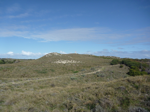
Looking up at Armstrong Hill from the walking trail from Parakeet Bay. The orange navigation mark is the top of the hill.
<a href="https://commons.wikimedia.org/wiki/File:Armstrong_Hill,_Rottnest.jpg" rel="noreferrer nofollow">commons.wikimedia.org/wiki/File:Armstrong_Hill,_Rottnest.jpg</a>
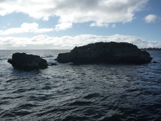
The small rocky Parakeet Island, off the headland to the north of Parakeet Bay.
<a href="https://commons.wikimedia.org/wiki/File:Parakeet_Island,_Rottnest.jpg" rel="noreferrer nofollow">commons.wikimedia.org/wiki/File:Parakeet_Island,_Rottnest…</a>
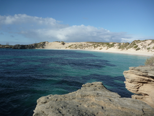
Looking south from the headland to Parakeet Bay and the beach. A navigation mark is visible in the dunes; it’s near where the track goes up from the beach to the road.
<a href="https://commons.wikimedia.org/wiki/File:Parakeet_Bay_from_the_north.jpg" rel="noreferrer nofollow">commons.wikimedia.org/wiki/File:Parakeet_Bay_from_the_nor…</a>
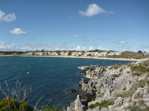
Looking over Geordie Bay towards the shore, with all empty moorings, the cottages across the dunes, and the wind turbine visible behind.
<a href="https://commons.wikimedia.org/wiki/File:Geordie_Bay.jpg" rel="noreferrer nofollow">commons.wikimedia.org/wiki/File:Geordie_Bay.jpg</a>
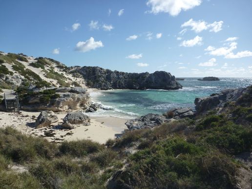
Looking north east over Little Parakeet Bay, Rottnest Island, Western Australia.
<a href="https://commons.wikimedia.org/wiki/File:Little_Parakeet_Bay.jpg" rel="noreferrer nofollow">commons.wikimedia.org/wiki/File:Little_Parakeet_Bay.jpg</a>